
Memories of Yukon Cornelius come to mind when I think of Dixie Mine—a whole lot of nuthin’. However, the checkered past and expansive views it provided made the trip worthwhile.

The Dixie Mine Trail, located in Fountain Hills, starts at the Golden Eagle Trailhead before entering McDowell Mountain Regional Park. The first portion of the 5.5-mile trek is through a residential community, but don’t let that fact deter you from what lies ahead.

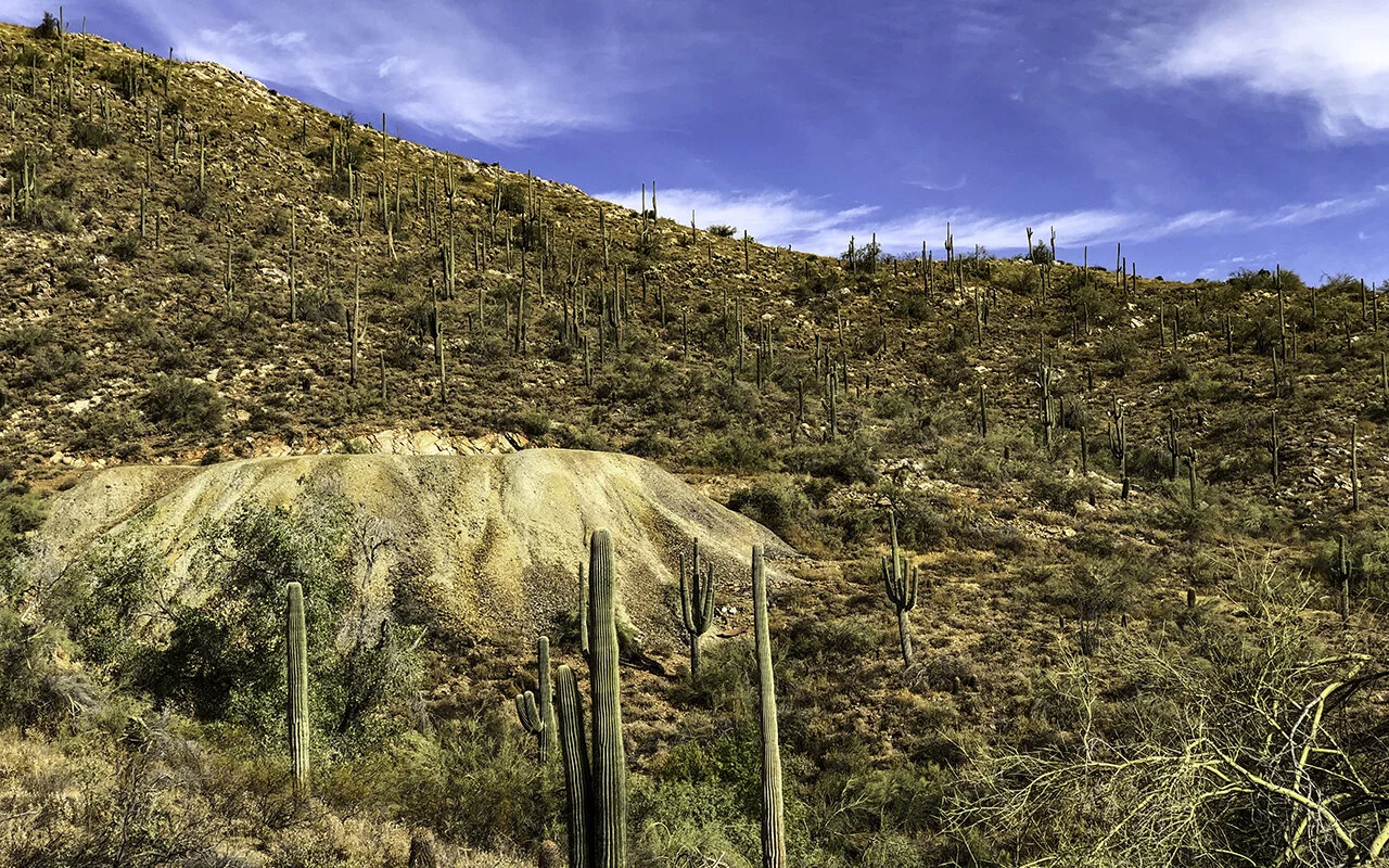
The hike took us over rolling hills and across wide-open spaces, with moderate elevation gain. There were a couple of steep areas, but nothing too strenuous.

About halfway in, I started wondering where the heck the mine was. Did we pass it? So impatient. And then, hang on—the mine appeared— a giant, whitish mound of rock protruding from the side of a mountain.
Not what I was expecting…

Following the wash to the mine’s entrance.

The first of two tunnels, both of them rather insignificant in length.
The history of Dixie Mine dates back more than a century, to a time where gold, silver, and copper was the path to making it big. In 1917, the original owner, Red Mountain Consolidated Copper Mines Company, constructed the two main entrances in a wash. The main tunnel spanned a whopping 240 feet, with the second tunnel looking like an afterthought at 100 feet. No significant ore deposits were ever found, and shortly after that, the mine flooded, and was put up for sale.
That didn’t stop speculators from trying to profit from a hole in the ground. One claim involved prison time. It appears that this particular fellow sold the mine, having never owned it.

In 1951, F. L. Shahan attempted to get a substantial production loan from the Department of the Interior. He wanted to drain the mine and remove (by his claim) 55,000 tons of copper. Shahan’s underwater theory was quite creative, but evidently (see below), the government didn’t buy it. In 1977, the area, ruled economically deficient, became part of the McDowell Mountain Regional Park.

One of the many documents from the Historical Files from Federal Government Mineral Exploration-Assistance Programs, 1950 to 1974
Nuthin’ here—except for a pretty sweet desert view.
