
Nestled within the Mazatzal mountains lies a lovely little hike that traverses along a rustic creek and an old ranch road to some ancient-looking water tanks. After reading about this hike in the Arizona Republic, Dave and I became intrigued. We’d driven the Beeline Highway between Mesa and Payson many times but never pulled off to discover what lay beyond it.

Ahhh, sunrise. It always makes getting up early worthwhile.

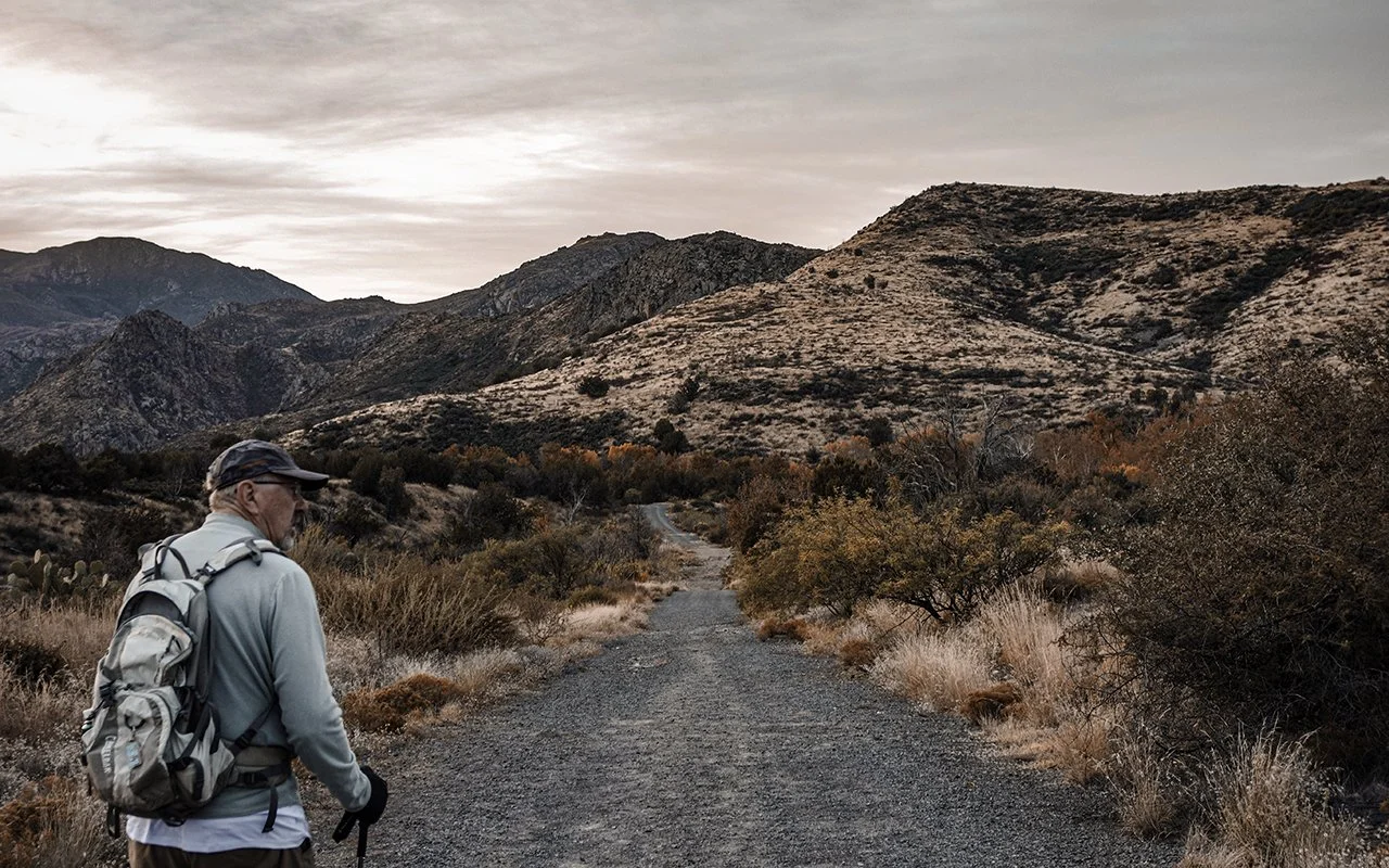
Looking back from the trailhead.
We were on the road by 6 am and turned onto the Bushnell Tanks Road (Srv Rd 22), around seven. The trailhead is located in a gravel lot just outside an Area Closed sign, (as this road is closed to motorized vehicles only). There is an Arizona Trail Kiosk in the parking lot.
A chilly start, soon after sunrise.
This hike runs parallel to the Arizona National Scenic Trail before veering to the right towards Sycamore Creek at the fork. Low water levels made the creek easy to navigate simply by dropping a few large stones across the water.

Sycamore Creek.

A small patch of color dots the horizon.
Even in November, the foliage was still flush with color.

Early morning on the trail.
Not soon after, we came upon a junction. A sharp right takes you up a steep path riddled with catclaw. The views are spectacular if you are arrive prepared for the climb (wear long pants).

As Dave and I were wearing shorts, we opted for the side trip to the tank instead. This hike was easy and scenic, without the elevation or catclaw issues.

Tangled masses of buffalo gourd appeared—their bright green orbs sprinkled along the route.

Bright green buffalo gourds.
Gentle rolling hills led us to a stone water tank—accompanied by cement troughs from years past.

The old water tank.

Close-up of troughs.

Our hike logged in at around six miles, with maybe 600 feet of total elevation. The overall vibe was more a walk than a hike—along an old ranch road. Time stood still that day, if only for a moment.
For more information visit AZtrail.org